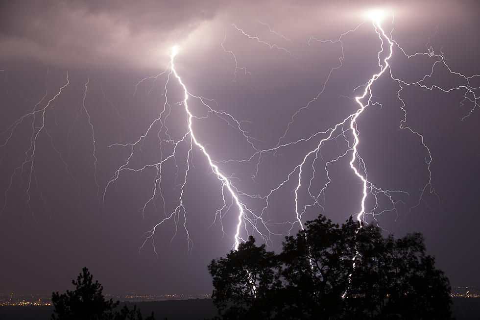
Heavy Rain Moving Into Midwest, Most Misses Minnesota
UNDATED -- A storm system will bring rain across the Dakotas through Thursday and Friday.

The system will stall out to the south and bring widespread rain across parts of Iowa, Missouri, Illinois, and Indiana over the weekend.
Unfortunately, most folks in Minnesota and Wisconsin will see little if any rainfall.
The National Weather Service in Sioux Falls says several waves of showers and thunderstorms will move through the region through Saturday, giving a good chance for rainfall across the area. While the heaviest rainfall will be spotty, many areas should see a half-inch to inch of badly needed rainfall. Severe storms will also be possible, with a few late-day storms capable of hail/damaging wind west of the James River, and a few storms later tonight/early Friday potentially severe as far east as southwest MN and northwest IA.
The main severe threat by later Friday should be brief, and mainly through the Missouri River corridor and south. Scattered storms will continue Saturday, but drier and seasonable conditions should settle in on Sunday.
Iowa National Weather Service says an active period of weather returns to Iowa through the end of the week as multiple rounds of storms are looking more likely. The highest chances occur later Friday into Saturday when strong to severe storms are possible, capable of large hail, damaging winds, and a few tornadoes. High uncertainty exists as to the potential extent and magnitude of severe weather due to impacts from preceding thunderstorm activity.
Some drought-stricken parts of the state will see beneficial rains over this period, and locally heavy rainfall amounts are possible.
27 Things All Minnesotan's Have in Their Junk Drawer
20 Things the World Should Thank Minnesota For
More From 1390 Granite City Sports


